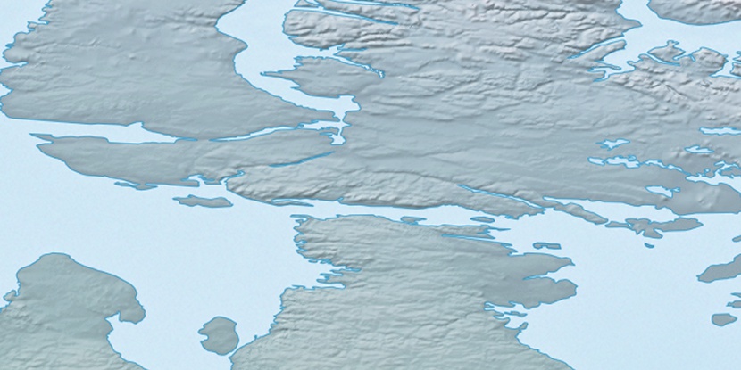
Hopkins Inlet, (inlet) is located in Nunavut, in Canada (America). It is placed in GMT-5 time zone with current time of 08:48 AM, Thursday. Offset from your time zone: minutes.
| Latitude | 

|
|
| decimal | 69.18435 | |
| DMS | 69° 11' 3.66" N | |
| Distances from | ||
| North pole | 2314.5 km | |
| Equator | 7692.6 km | |
| South pole | 17699.6 km | |
| Longitude | 
|
|
| decimal | -85.24927 | |
| DMS | 85° 14' 57.372" W | |
| Distance from prime meridian: 3096.6 km to West |
||
List of nearest places sort by population
Yellowknife 1502.1 km 240°
240° 203°
203° 129°236°
 230°203°
 112°
112° 262°261°
 77°
77°

Marker is showing location of Hopkins Inlet on map(s). You can click on marker if you want to hide it.
 T: 0.00566 s.
2026 © Location.zone | Terms of use | Contact
 173°
173° 217°
217° 103°
103° 246°
246°