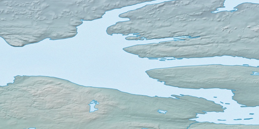
Minto Inlet, (inlet) is located in Northwest Territories, in Canada (America). It is placed in GMT-6 time zone with current time of 01:19 PM, Saturday. Offset from your time zone: minutes.
| Latitude | 

|
|
| decimal | 71.33424 | |
| DMS | 71° 20' 3.264" N | |
| Distances from | ||
| North pole | 2075.4 km | |
| Equator | 7931.6 km | |
| South pole | 17938.7 km | |
| Longitude | 
|
|
| decimal | -117.00464 | |
| DMS | 117° 0' 16.704" W | |
| Distance from prime meridian: 3521.7 km to West |
||
List of nearest places sort by population
Yellowknife 993.8 km 173°
173° 177°
177° 242°169°
 202°
202° 229°169°
 110°238°
 210°
210°

Marker is showing location of Minto Inlet on map(s). You can click on marker if you want to hide it.
 T: 0.00599 s.
2026 © Location.zone | Terms of use | Contact
 145°
145° 140°
140° 156°
156° 187°
187° 103°
103°