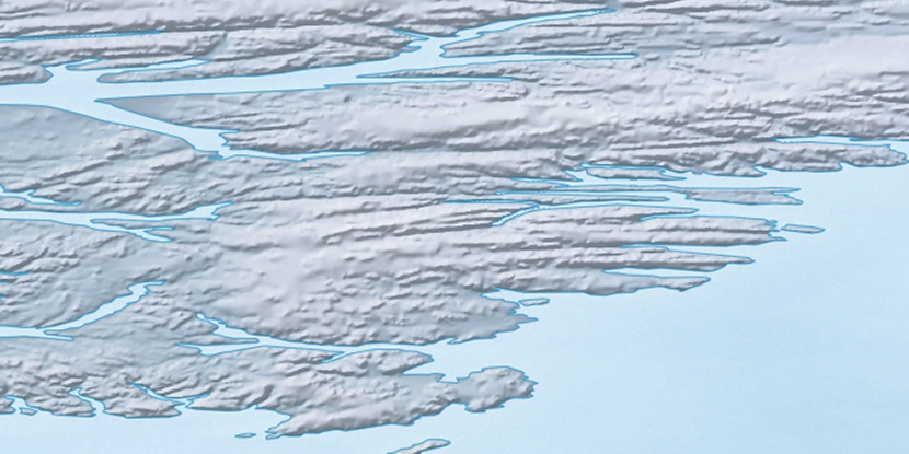
Baird Island, (island) is located in Nunavut, in Canada (America). It is placed in GMT-4 time zone with current time of 03:01 PM, Saturday. Offset from your time zone: minutes.
| Latitude | 

|
|
| decimal | 78.51856 | |
| DMS | 78° 31' 6.816" N | |
| Distances from | ||
| North pole | 1276.6 km | |
| Equator | 8730.4 km | |
| South pole | 18737.5 km | |
| Longitude | 
|
|
| decimal | -76.33019 | |
| DMS | 76° 19' 48.684" W | |
| Distance from prime meridian: 1571.2 km to West |
||
List of nearest places sort by population
Yellowknife 2191.9 km 216°
216° 170°
170° 237°
237° 197°165°
 225°
225° 208°236°228°165°

Marker is showing location of Baird Island on map(s). You can click on marker if you want to hide it.
 T: 0.0531 s.
2026 © Location.zone | Terms of use | Contact
 182°
182° 133°
133° 119°
119°