Borden Island, (island) is located in Nunavut, in Canada (America). It is placed in GMT-6 time zone with current time of 08:10 PM, Sunday. Offset from your time zone: minutes.
| Latitude | 

|
|
| decimal | 78.43382 | |
| DMS | 78° 26' 1.752" N | |
| Distances from | ||
| North pole | 1286 km | |
| Equator | 8721 km | |
| South pole | 18728.1 km | |
| Longitude | 
|
|
| decimal | -109.6755 | |
| DMS | 109° 40' 31.8" W | |
| Distance from prime meridian: 2098 km to West |
||
List of nearest places sort by population
Yellowknife 1784 km 185°
185° 213°
213° 160°
160° 133°212°188°158°212°
 201°126°

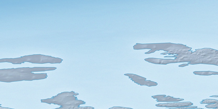
Marker is showing location of Borden Island on map(s). You can click on marker if you want to hide it.
 T: 0.05388 s.
2026 © Location.zone | Terms of use | Contact
 183°
183° 170°
170° 122°
122° 113°
113° 229°
229°