Bott Island, (island) is located in Ontario, in Canada (America). It is placed in GMT-4 time zone with current time of 03:54 AM, Saturday. Offset from your time zone: minutes.
| Latitude | 

|
|
| decimal | 52.86683 | |
| DMS | 52° 52' 0.588" N | |
| Distances from | ||
| North pole | 4128.8 km | |
| Equator | 5878.2 km | |
| South pole | 15885.3 km | |
| Longitude | 
|
|
| decimal | -87.41659 | |
| DMS | 87° 24' 59.724" W | |
| Distance from prime meridian: 5482.4 km to West |
||
List of nearest places sort by population
Thunder Bay 515.1 km 194°
194° 137°
137° 227°143°
 171°
171° 244°
244° 177°
177° 212°
212° 155°238°

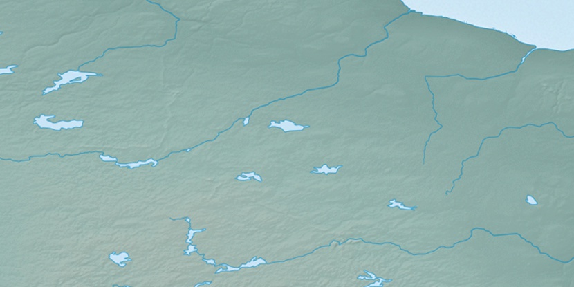
Marker is showing location of Bott Island on map(s). You can click on marker if you want to hide it.
 T: 0.05316 s.
2026 © Location.zone | Terms of use | Contact
 149°
149° 129°
129° 263°
263° 272°
272° 91°
91°