Bryde Island, (island) is located in Nunavut, in Canada (America). It is placed in GMT-6 time zone with current time of 09:17 AM, Monday. Offset from your time zone: minutes.
| Latitude | 

|
|
| decimal | 68.61771 | |
| DMS | 68° 37' 3.756" N | |
| Distances from | ||
| North pole | 2377.5 km | |
| Equator | 7629.6 km | |
| South pole | 17636.6 km | |
| Longitude | 
|
|
| decimal | -100.83463 | |
| DMS | 100° 50' 4.668" W | |
| Distance from prime meridian: 3629.1 km to West |
||
List of nearest places sort by population
Fort McMurray 1422.8 km 201°
201° 222°215°219°
 208°
208° 148°
148° 261°
261° 89°
89° 251°
251° 80°
80°

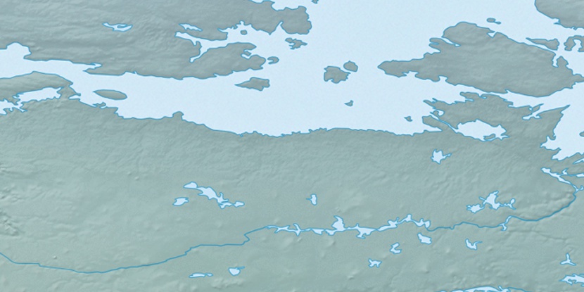
Marker is showing location of Bryde Island on map(s). You can click on marker if you want to hide it.
 T: 0.05299 s.
2026 © Location.zone | Terms of use | Contact
 155°
155° 174°
174° 109°
109° 101°
101° 244°
244°