Burnt Island, (island) is located in Ontario, in Canada (America). It is placed in GMT-5 time zone with current time of 09:35 AM, Sunday. Offset from your time zone: minutes.
| Latitude | 

|
|
| decimal | 49.08327 | |
| DMS | 49° 4' 59.772" N | |
| Distances from | ||
| North pole | 4549.5 km | |
| Equator | 5457.5 km | |
| South pole | 15464.6 km | |
| Longitude | 
|
|
| decimal | -94.41712 | |
| DMS | 94° 25' 1.632" W | |
| Distance from prime meridian: 6388.2 km to West |
||
List of nearest places sort by population
Selkirk 213.3 km 303°
303° 286°
286° 57°
57° 125°
125° 100°
100° 305°286°
 317°287°
 26°
26°

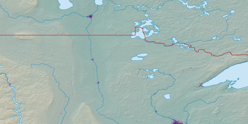
Marker is showing location of Burnt Island on map(s). You can click on marker if you want to hide it.
 T: 0.05366 s.
2026 © Location.zone | Terms of use | Contact
 117°
117° 278°
278° 106°
106° 270°
270° 87°
87° 261°
261° 165°
165° 231°
231°