Campfire Island, (island) is located in Ontario, in Canada (America). It is placed in GMT-5 time zone with current time of 10:55 AM, Saturday. Offset from your time zone: minutes.
| Latitude | 

|
|
| decimal | 49.16669 | |
| DMS | 49° 10' 0.084" N | |
| Distances from | ||
| North pole | 4540.2 km | |
| Equator | 5466.8 km | |
| South pole | 15473.9 km | |
| Longitude | 
|
|
| decimal | -94.53374 | |
| DMS | 94° 32' 1.464" W | |
| Distance from prime meridian: 6383 km to West |
||
List of nearest places sort by population
Winnipeg 204.8 km 292°
292° 302°
302° 284°
284° 61°
61° 127°304°285°
 317°285°
 29°
29°

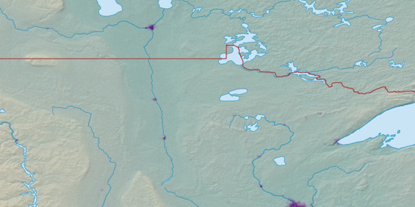
Marker is showing location of Campfire Island on map(s). You can click on marker if you want to hide it.
 T: 0.05376 s.
2026 © Location.zone | Terms of use | Contact
 117°
117° 104°
104° 106°
106° 270°
270° 87°
87° 261°
261° 165°
165° 230°
230°