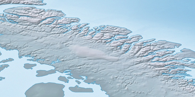
Dexterity Island, (island) is located in Nunavut, in Canada (America). It is placed in GMT-4 time zone with current time of 12:55 AM, Sunday. Offset from your time zone: minutes.
| Latitude | 

|
|
| decimal | 71.60119 | |
| DMS | 71° 36' 4.284" N | |
| Distances from | ||
| North pole | 2045.8 km | |
| Equator | 7961.3 km | |
| South pole | 17968.4 km | |
| Longitude | 
|
|
| decimal | -72.83095 | |
| DMS | 72° 49' 51.42" W | |
| Distance from prime meridian: 2401.5 km to West |
||
List of nearest places sort by population
Yellowknife 2011.4 km 240°
240° 214°
214° 168°237°
 233°
233° 219°
219° 154°
154° 255°
255° 249°
249° 129°
129°

Marker is showing location of Dexterity Island on map(s). You can click on marker if you want to hide it.
 T: 0.05345 s.
2026 © Location.zone | Terms of use | Contact
 186°
186° 180°
180° 121°
121° 108°
108°