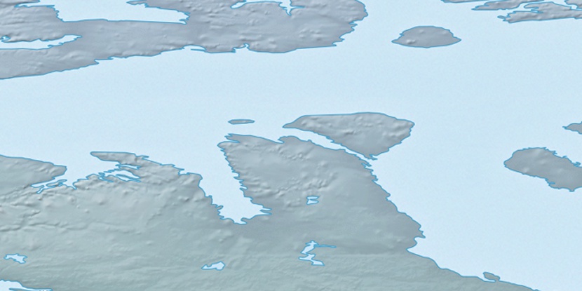
Elvina Island, (island) is located in Nunavut, in Canada (America). It is placed in GMT-6 time zone with current time of 10:49 PM, Sunday. Offset from your time zone: minutes.
| Latitude | 

|
|
| decimal | 73.34597 | |
| DMS | 73° 20' 45.492" N | |
| Distances from | ||
| North pole | 1851.8 km | |
| Equator | 8155.3 km | |
| South pole | 18162.4 km | |
| Longitude | 
|
|
| decimal | -107.47375 | |
| DMS | 107° 28' 25.5" W | |
| Distance from prime meridian: 2971.2 km to West |
||
List of nearest places sort by population
Yellowknife 1243 km 193°194°
 239°187°
 151°
151° 204°
204° 141°237°
 219°
219° 103°
103°

Marker is showing location of Elvina Island on map(s). You can click on marker if you want to hide it.
 T: 0.05417 s.
2026 © Location.zone | Terms of use | Contact
 155°
155° 168°
168° 114°
114° 214°
214°