Gunnars Island, (island) is located in Nunavut, in Canada (America). It is placed in GMT-5 time zone with current time of 07:14 PM, Saturday. Offset from your time zone: minutes.
| Latitude | 

|
|
| decimal | 77.46841 | |
| DMS | 77° 28' 6.276" N | |
| Distances from | ||
| North pole | 1393.4 km | |
| Equator | 8613.7 km | |
| South pole | 18620.7 km | |
| Longitude | 
|
|
| decimal | -85.46596 | |
| DMS | 85° 27' 57.456" W | |
| Distance from prime meridian: 1882.9 km to West |
||
List of nearest places sort by population
Yellowknife 1953.4 km 212°
212° 158°
158° 236°
236° 188°
188° 152°
152° 221°
221° 198°235°
 226°146°

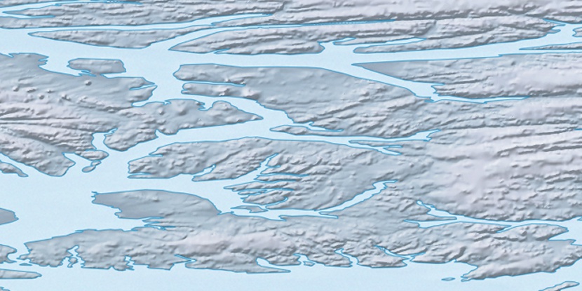
Marker is showing location of Gunnars Island on map(s). You can click on marker if you want to hide it.
 T: 0.05398 s.
2026 © Location.zone | Terms of use | Contact
 175°
175° 171°
171° 127°
127° 123°
123°