Igloolik Island, (island) is located in Nunavut, in Canada (America). It is placed in GMT-4 time zone with current time of 08:03 PM, Saturday. Offset from your time zone: minutes.
| Latitude | 

|
|
| decimal | 69.38438 | |
| DMS | 69° 23' 3.768" N | |
| Distances from | ||
| North pole | 2292.2 km | |
| Equator | 7714.8 km | |
| South pole | 17721.9 km | |
| Longitude | 
|
|
| decimal | -81.66555 | |
| DMS | 81° 39' 55.98" W | |
| Distance from prime meridian: 2959.9 km to West |
||
List of nearest places sort by population
Yellowknife 1644.3 km 242°
242° 208°
208° 137°238°
 233°212°
 118°
118° 262°261°
 76°
76°

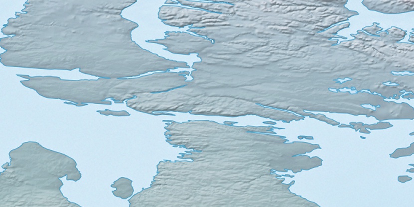
Marker is showing location of Igloolik Island on map(s). You can click on marker if you want to hide it.
 T: 0.0542 s.
2026 © Location.zone | Terms of use | Contact
 177°
177° 170°
170° 220°
220° 201°
201° 114°
114° 104°
104° 246°
246°