Île Kamiskutanikaw, (island) is located in Quebec, in Canada (America). It is placed in GMT-4 time zone with current time of 07:06 AM, Thursday. Offset from your time zone: minutes.
| Latitude | 

|
|
| decimal | 56.23362 | |
| DMS | 56° 14' 1.032" N | |
| Distances from | ||
| North pole | 3754.5 km | |
| Equator | 6252.6 km | |
| South pole | 16259.7 km | |
| Longitude | 
|
|
| decimal | -74.38247 | |
| DMS | 74° 22' 56.892" W | |
| Distance from prime meridian: 4365.7 km to West |
||
List of nearest places sort by population
Dolbeau-Mistassini 830.5 km 169°
169° 127°
127° 179°169°
 192°129°
 196°182°189°170°

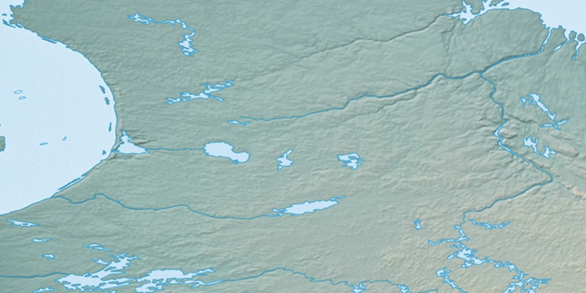
Marker is showing location of Île Kamiskutanikaw on map(s). You can click on marker if you want to hide it.
 T: 0.05463 s.
2026 © Location.zone | Terms of use | Contact
 257°
257° 245°
245° 96°
96° 94°
94° 232°
232°