Île Katatikutauch, (island) is located in Quebec, in Canada (America). It is placed in GMT-4 time zone with current time of 12:35 PM, Sunday. Offset from your time zone: minutes.
| Latitude | 

|
|
| decimal | 55.06698 | |
| DMS | 55° 4' 1.128" N | |
| Distances from | ||
| North pole | 3884.2 km | |
| Equator | 6122.9 km | |
| South pole | 16129.9 km | |
| Longitude | 
|
|
| decimal | -73.03238 | |
| DMS | 73° 1' 56.568" W | |
| Distance from prime meridian: 4430.2 km to West |
||
List of nearest places sort by population
Dolbeau-Mistassini 690.3 km 175°
175° 120°
120° 188°
188° 174°
174° 143°123°
 207°191°
 199°176°

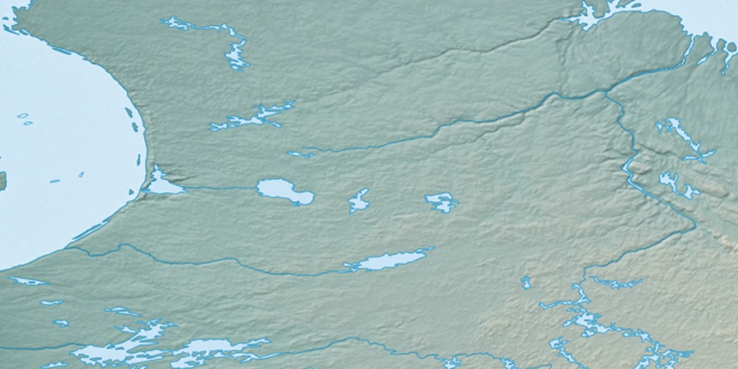
Marker is showing location of Île Katatikutauch on map(s). You can click on marker if you want to hide it.
 T: 0.05423 s.
2026 © Location.zone | Terms of use | Contact
 260°
260° 266°
266° 250°
250° 94°
94° 233°
233°