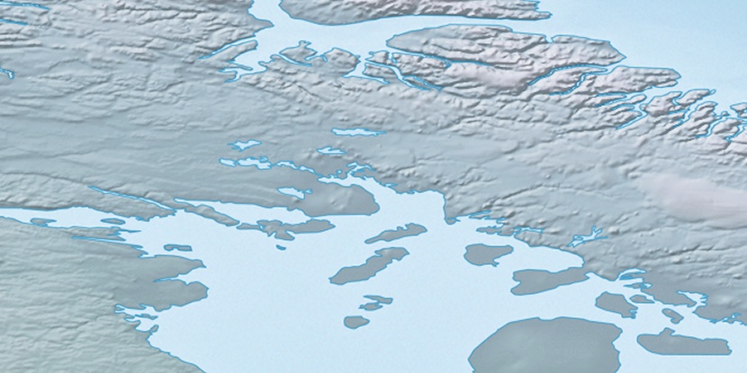
Imarujuk Island, (island) is located in Nunavut, in Canada (America). It is placed in GMT-4 time zone with current time of 02:07 AM, Sunday. Offset from your time zone: minutes.
| Latitude | 

|
|
| decimal | 69.70107 | |
| DMS | 69° 42' 3.852" N | |
| Distances from | ||
| North pole | 2257 km | |
| Equator | 7750 km | |
| South pole | 17757.1 km | |
| Longitude | 
|
|
| decimal | -77.51488 | |
| DMS | 77° 30' 53.568" W | |
| Distance from prime meridian: 2789.4 km to West |
||
List of nearest places sort by population
Yellowknife 1809.2 km 243°
243° 213°
213° 149°240°236°
 220°
220° 128°
128° 262°260°
 75°
75°

Marker is showing location of Imarujuk Island on map(s). You can click on marker if you want to hide it.
 T: 0.05434 s.
2026 © Location.zone | Terms of use | Contact
 182°
182° 225°
225° 116°
116° 111°
111° 247°
247°