Kamakark Island, (island) is located in Northwest Territories, in Canada (America). It is placed in GMT-6 time zone with current time of 09:38 PM, Sunday. Offset from your time zone: minutes.
| Latitude | 

|
|
| decimal | 70.04708 | |
| DMS | 70° 2' 49.488" N | |
| Distances from | ||
| North pole | 2218.6 km | |
| Equator | 7788.5 km | |
| South pole | 17795.6 km | |
| Longitude | 
|
|
| decimal | -124.34189 | |
| DMS | 124° 20' 30.804" W | |
| Distance from prime meridian: 3906 km to West |
||
List of nearest places sort by population
Whitehorse 1146.2 km 205°
205° 152°
152° 159°
159° 242°
242° 190°
190° 224°
224° 123°210°235°191°

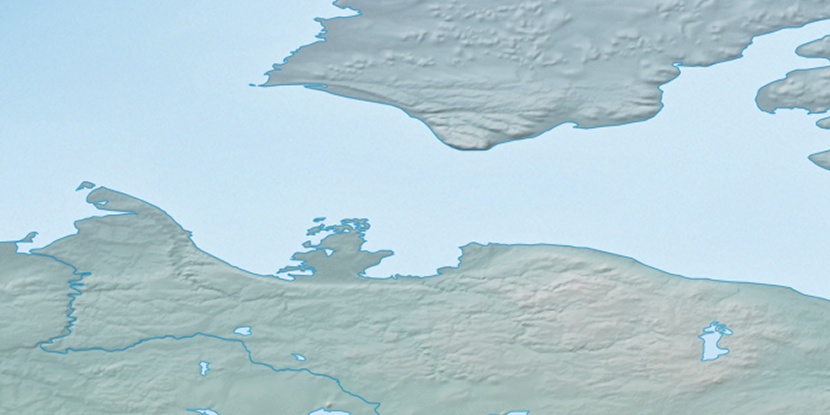
Marker is showing location of Kamakark Island on map(s). You can click on marker if you want to hide it.
 T: 0.05214 s.
2026 © Location.zone | Terms of use | Contact
 138°
138° 133°
133° 165°
165° 178°
178° 107°
107° 101°
101°