Kasabonika Island, (island) is located in Ontario, in Canada (America). It is placed in GMT-5 time zone with current time of 06:35 AM, Tuesday. Offset from your time zone: minutes.
| Latitude | 

|
|
| decimal | 53.53344 | |
| DMS | 53° 32' 0.384" N | |
| Distances from | ||
| North pole | 4054.7 km | |
| Equator | 5952.4 km | |
| South pole | 15959.4 km | |
| Longitude | 
|
|
| decimal | -88.61667 | |
| DMS | 88° 37' 0.012" W | |
| Distance from prime meridian: 5454.9 km to West |
||
List of nearest places sort by population
Thunder Bay 574.5 km 184°
184° 214°
214° 141°
141° 164°
164° 231°
231° 166°
166° 201°
201° 185°
185° 150°
150° 224°
224°

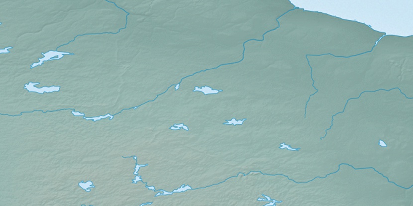
Marker is showing location of Kasabonika Island on map(s). You can click on marker if you want to hide it.
 T: 0.05371 s.
2026 © Location.zone | Terms of use | Contact
 129°
129° 260°
260° 270°
270° 235°
235° 92°
92°