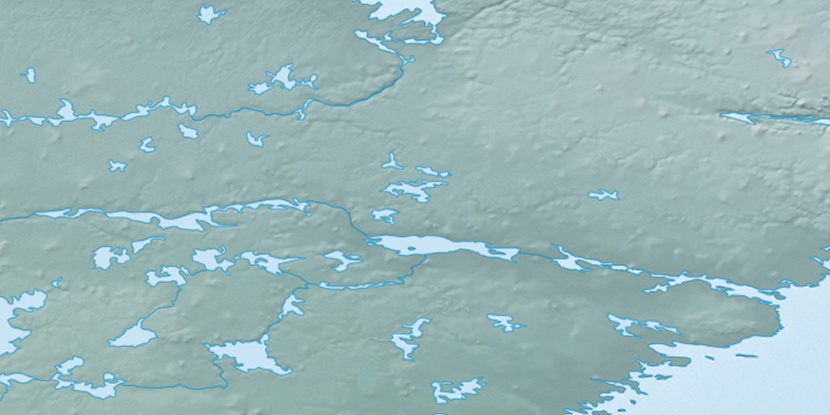
Kasigialik Island, (island) is located in Nunavut, in Canada (America). It is placed in GMT-5 time zone with current time of 01:53 AM, Tuesday. Offset from your time zone: minutes.
| Latitude | 

|
|
| decimal | 63.41735 | |
| DMS | 63° 25' 2.46" N | |
| Distances from | ||
| North pole | 2955.7 km | |
| Equator | 7051.3 km | |
| South pole | 17058.4 km | |
| Longitude | 
|
|
| decimal | -94.73356 | |
| DMS | 94° 44' 0.816" W | |
| Distance from prime meridian: 4274.4 km to West |
||
List of nearest places sort by population
Fort McMurray 1179.8 km 231°
231° 263°
263° 191°
191° 199°202°255°
 212°
212° 247°
247° 116°
116° 354°
354°

Marker is showing location of Kasigialik Island on map(s). You can click on marker if you want to hide it.
 T: 0.0527 s.
2026 © Location.zone | Terms of use | Contact
 155°
155° 146°
146° 219°
219° 103°
103° 168°
168°