Kettle Island, (island) is located in Nunavut, in Canada (America). It is placed in GMT-6 time zone with current time of 09:09 AM, Monday. Offset from your time zone: minutes.
| Latitude | 

|
|
| decimal | 67.83421 | |
| DMS | 67° 50' 3.156" N | |
| Distances from | ||
| North pole | 2464.6 km | |
| Equator | 7542.5 km | |
| South pole | 17549.5 km | |
| Longitude | 
|
|
| decimal | -102.55158 | |
| DMS | 102° 33' 5.688" W | |
| Distance from prime meridian: 3806.8 km to West |
||
List of nearest places sort by population
Fort McMurray 1313.7 km 200°
200° 222°224°
 214°219°207°
 139°
139° 269°
269° 72°
72° 255°
255°

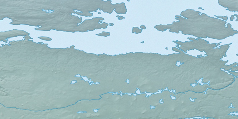
Marker is showing location of Kettle Island on map(s). You can click on marker if you want to hide it.
 T: 0.05255 s.
2026 © Location.zone | Terms of use | Contact
 152°
152° 171°
171° 107°
107° 100°
100° 244°
244°