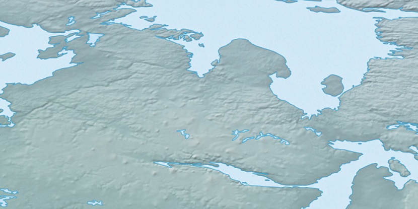
Kiktuqsalik Island, (island) is located in Nunavut, in Canada (America). It is placed in GMT-6 time zone with current time of 09:06 AM, Saturday. Offset from your time zone: minutes.
| Latitude | 

|
|
| decimal | 68.52747 | |
| DMS | 68° 31' 38.892" N | |
| Distances from | ||
| North pole | 2387.5 km | |
| Equator | 7619.5 km | |
| South pole | 17626.6 km | |
| Longitude | 
|
|
| decimal | -89.88722 | |
| DMS | 89° 53' 13.992" W | |
| Distance from prime meridian: 3332.6 km to West |
||
List of nearest places sort by population
Yellowknife 1302.8 km 238°
238° 195°
195° 119°
119° 234°228°
 188°
188° 104°
104° 265°272°
 75°
75°

Marker is showing location of Kiktuqsalik Island on map(s). You can click on marker if you want to hide it.
 T: 0.0533 s.
2026 © Location.zone | Terms of use | Contact
 167°
167° 159°
159° 214°
214° 216°
216° 111°
111° 246°
246°