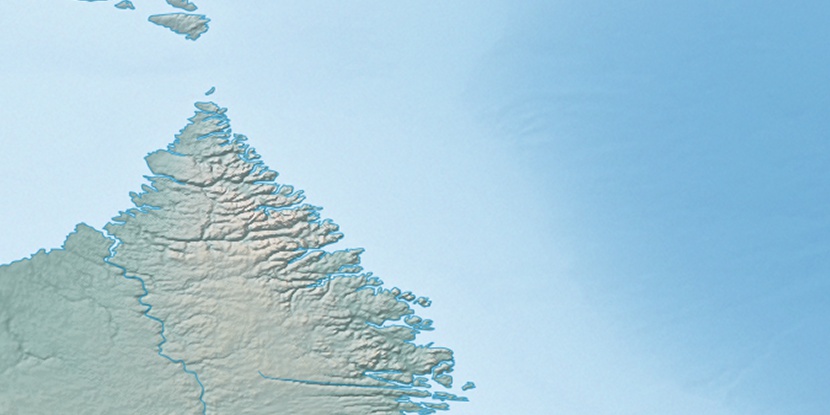
Kingitoaksuk Island, (island) is located in Newfoundland and Labrador, in Canada (America). It is placed in GMT-3 time zone with current time of 11:21 PM, Wednesday. Offset from your time zone: minutes.
| Latitude | 

|
|
| decimal | 58.25027 | |
| DMS | 58° 15' 0.972" N | |
| Distances from | ||
| North pole | 3530.2 km | |
| Equator | 6476.8 km | |
| South pole | 16483.9 km | |
| Longitude | 
|
|
| decimal | -62.53138 | |
| DMS | 62° 31' 52.968" W | |
| Distance from prime meridian: 3524.5 km to West |
||
List of nearest places sort by population
Sept-Îles 929 km 195°204°
 165°
165° 332°197°
 162°
162° 184°
184° 205°
205° 349°
349° 194°
194°

Marker is showing location of Kingitoaksuk Island on map(s). You can click on marker if you want to hide it.
 T: 0.05272 s.
2026 © Location.zone | Terms of use | Contact
 215°
215° 256°
256° 247°
247° 100°
100° 92°
92° 233°
233°