Kroger Island, (island) is located in Northwest Territories, in Canada (America). It is placed in GMT-6 time zone with current time of 10:05 PM, Saturday. Offset from your time zone: minutes.
| Latitude | 

|
|
| decimal | 66.46706 | |
| DMS | 66° 28' 1.416" N | |
| Distances from | ||
| North pole | 2616.6 km | |
| Equator | 7390.4 km | |
| South pole | 17397.5 km | |
| Longitude | 
|
|
| decimal | -122.87041 | |
| DMS | 122° 52' 13.476" W | |
| Distance from prime meridian: 4565.1 km to West |
||
List of nearest places sort by population
Whitehorse 875.7 km 223°
223° 137°
137° 179°
179° 151°
151° 294°
294° 202°
202° 250°
250° 65°
65° 281°
281° 233°
233°

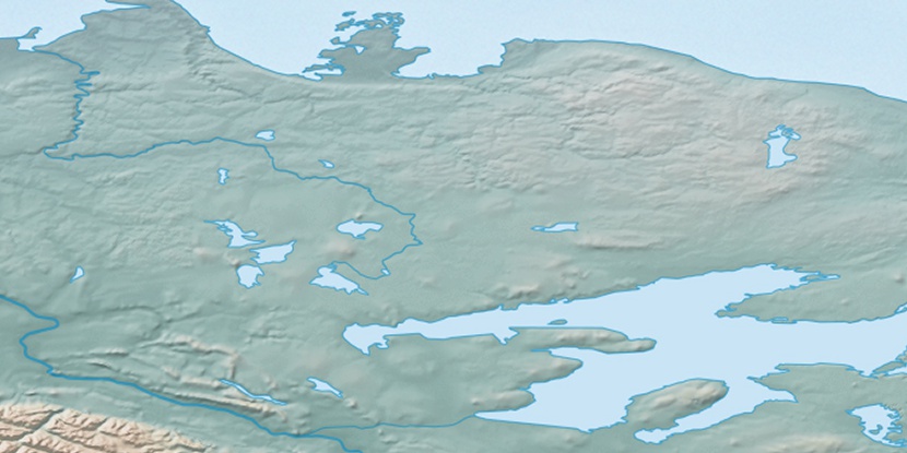
Marker is showing location of Kroger Island on map(s). You can click on marker if you want to hide it.
 T: 0.05295 s.
2026 © Location.zone | Terms of use | Contact
 133°
133° 163°
163° 103°
103° 242°
242° 214°
214°