Linaluk Island, (island) is located in Northwest Territories, in Canada (America). It is placed in GMT-6 time zone with current time of 11:15 PM, Saturday. Offset from your time zone: minutes.
| Latitude | 

|
|
| decimal | 70.30093 | |
| DMS | 70° 18' 3.348" N | |
| Distances from | ||
| North pole | 2190.3 km | |
| Equator | 7816.7 km | |
| South pole | 17823.8 km | |
| Longitude | 
|
|
| decimal | -113.07058 | |
| DMS | 113° 4' 14.088" W | |
| Distance from prime meridian: 3631.9 km to West |
||
List of nearest places sort by population
Yellowknife 874.4 km 183°
183° 186°
186° 255°177°
 132°
132° 238°
238° 196°
196° 105°
105° 249°
249° 225°
225°

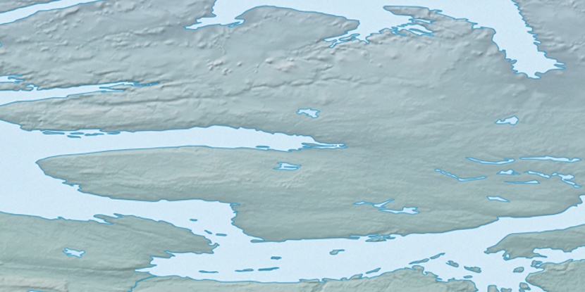
Marker is showing location of Linaluk Island on map(s). You can click on marker if you want to hide it.
 T: 0.05403 s.
2026 © Location.zone | Terms of use | Contact
 146°
146° 141°
141° 159°
159° 102°
102° 215°
215°