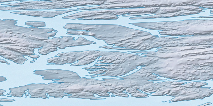
Lois Island, (island) is located in Nunavut, in Canada (America). It is placed in GMT-4 time zone with current time of 02:23 PM, Saturday. Offset from your time zone: minutes.
| Latitude | 

|
|
| decimal | 79.08525 | |
| DMS | 79° 5' 6.9" N | |
| Distances from | ||
| North pole | 1213.6 km | |
| Equator | 8793.5 km | |
| South pole | 18800.5 km | |
| Longitude | 
|
|
| decimal | -83.88201 | |
| DMS | 83° 52' 55.236" W | |
| Distance from prime meridian: 1616.8 km to West |
||
List of nearest places sort by population
Yellowknife 2102 km 209°
209° 163°
163° 231°
231° 188°158°
 217°
217° 197°230°222°155°

Marker is showing location of Lois Island on map(s). You can click on marker if you want to hide it.
 T: 0.05576 s.
2026 © Location.zone | Terms of use | Contact
 177°
177° 172°
172° 131°
131° 118°
118°