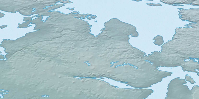
Maniittuarjuk Island, (island) is located in Nunavut, in Canada (America). It is placed in GMT-6 time zone with current time of 04:39 AM, Saturday. Offset from your time zone: minutes.
| Latitude | 

|
|
| decimal | 68.85109 | |
| DMS | 68° 51' 3.924" N | |
| Distances from | ||
| North pole | 2351.5 km | |
| Equator | 7655.5 km | |
| South pole | 17662.6 km | |
| Longitude | 
|
|
| decimal | -89.99004 | |
| DMS | 89° 59' 24.144" W | |
| Distance from prime meridian: 3286.6 km to West |
||
List of nearest places sort by population
Yellowknife 1311.3 km 237°
237° 195°
195° 120°
120° 233°226°
 188°
188° 106°
106° 263°263°
 77°
77°

Marker is showing location of Maniittuarjuk Island on map(s). You can click on marker if you want to hide it.
 T: 0.05417 s.
2026 © Location.zone | Terms of use | Contact
 167°
167° 159°
159° 213°
213° 215°
215° 102°
102° 246°
246°