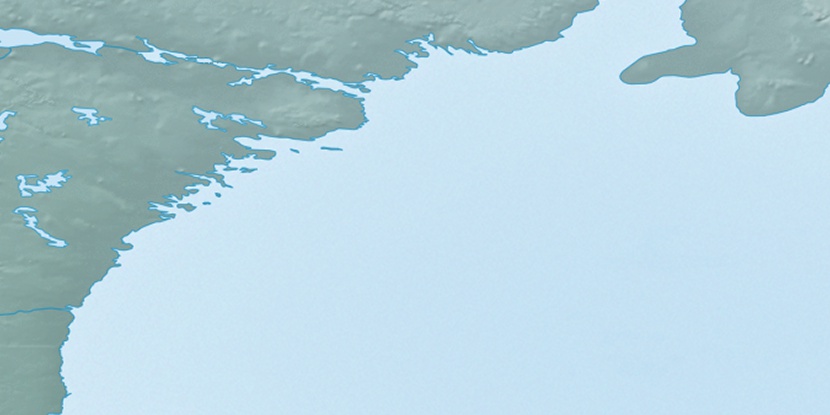
Marble Island, (island) is located in Nunavut, in Canada (America). It is placed in GMT-5 time zone with current time of 07:03 AM, Monday. Offset from your time zone: minutes.
| Latitude | 

|
|
| decimal | 62.68391 | |
| DMS | 62° 41' 2.076" N | |
| Distances from | ||
| North pole | 3037.3 km | |
| Equator | 6969.8 km | |
| South pole | 16976.9 km | |
| Longitude | 
|
|
| decimal | -91.13313 | |
| DMS | 91° 7' 59.268" W | |
| Distance from prime meridian: 4253.7 km to West |
||
List of nearest places sort by population
Yellowknife 1184.2 km 268°
268° 206°
206° 84°210°
 215°215°223°
 254°
254° 286°
286° 341°
341°

Marker is showing location of Marble Island on map(s). You can click on marker if you want to hide it.
 T: 0.05316 s.
2026 © Location.zone | Terms of use | Contact
 160°
160° 149°
149° 226°
226° 194°
194° 102°
102° 170°
170°