Nicholls Island, (island) is located in Nunavut, in Canada (America). It is placed in GMT-5 time zone with current time of 09:14 PM, Monday. Offset from your time zone: minutes.
| Latitude | 

|
|
| decimal | 64.26878 | |
| DMS | 64° 16' 7.608" N | |
| Distances from | ||
| North pole | 2861 km | |
| Equator | 7146 km | |
| South pole | 17153.1 km | |
| Longitude | 
|
|
| decimal | -96.00731 | |
| DMS | 96° 0' 26.316" W | |
| Distance from prime meridian: 4186 km to West |
||
List of nearest places sort by population
Fort McMurray 1182.4 km 224°
224° 257°
257° 186°
186° 197°
197° 249°
249° 206°
206° 240°
240° 129°
129° 294°
294° 0°
0°

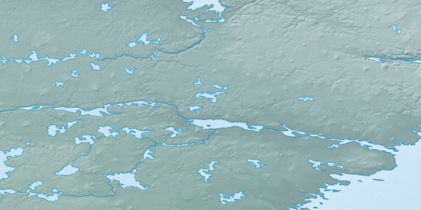
Marker is showing location of Nicholls Island on map(s). You can click on marker if you want to hide it.
 T: 0.05455 s.
2026 © Location.zone | Terms of use | Contact
 155°
155° 146°
146° 182°
182° 104°
104° 168°
168°