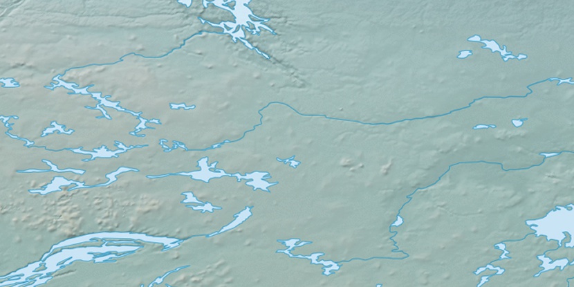
Nose Island, (island) is located in Nunavut, in Canada (America). It is placed in GMT-6 time zone with current time of 04:26 PM, Saturday. Offset from your time zone: minutes.
| Latitude | 

|
|
| decimal | 65.43534 | |
| DMS | 65° 26' 7.224" N | |
| Distances from | ||
| North pole | 2731.3 km | |
| Equator | 7275.7 km | |
| South pole | 17282.8 km | |
| Longitude | 
|
|
| decimal | -108.96463 | |
| DMS | 108° 57' 52.668" W | |
| Distance from prime meridian: 4398.1 km to West |
||
List of nearest places sort by population
Fort McMurray 976.8 km 187°
187° 218°223°
 208°213°193°
 109°
109° 314°
314° 57°
57° 268°
268°

Marker is showing location of Nose Island on map(s). You can click on marker if you want to hide it.
 T: 0.05442 s.
2026 © Location.zone | Terms of use | Contact
 142°
142° 158°
158° 204°
204° 103°
103° 246°
246°