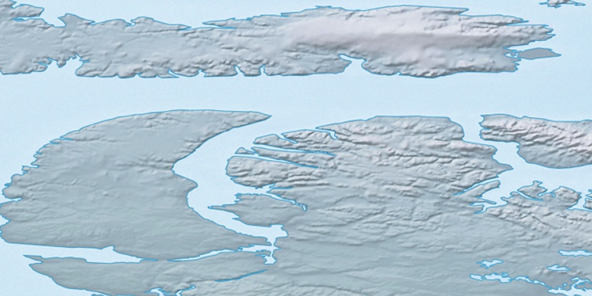
Nuvua Island, (island) is located in Nunavut, in Canada (America). It is placed in GMT-5 time zone with current time of 06:39 PM, Sunday. Offset from your time zone: minutes.
| Latitude | 

|
|
| decimal | 72.28469 | |
| DMS | 72° 17' 4.884" N | |
| Distances from | ||
| North pole | 1969.8 km | |
| Equator | 8037.3 km | |
| South pole | 18044.4 km | |
| Longitude | 
|
|
| decimal | -86.15 | |
| DMS | 86° 9' 0" W | |
| Distance from prime meridian: 2667.3 km to West |
||
List of nearest places sort by population
Yellowknife 1601 km 227°
227° 142°225°
 219°
219° 193°
193° 130°
130° 245°221°
 244°
244° 107°
107°

Marker is showing location of Nuvua Island on map(s). You can click on marker if you want to hide it.
 T: 0.0547 s.
2026 © Location.zone | Terms of use | Contact
 173°
173° 210°
210° 118°
118°