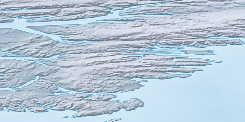
Outer Island, (island) is located in Nunavut, in Canada (America). It is placed in GMT-4 time zone with current time of 10:32 PM, Friday. Offset from your time zone: minutes.
| Latitude | 

|
|
| decimal | 79.01859 | |
| DMS | 79° 1' 6.924" N | |
| Distances from | ||
| North pole | 1221 km | |
| Equator | 8786 km | |
| South pole | 18793.1 km | |
| Longitude | 
|
|
| decimal | -76.09665 | |
| DMS | 76° 5' 47.94" W | |
| Distance from prime meridian: 1499.4 km to West |
||
List of nearest places sort by population
Yellowknife 2226.2 km 215°
215° 171°
171° 235°
235° 196°167°223°
 207°
207° 234°227°167°

Marker is showing location of Outer Island on map(s). You can click on marker if you want to hide it.
 T: 0.05449 s.
2026 © Location.zone | Terms of use | Contact
 182°
182° 134°
134° 120°
120°