Pow Island, (island) is located in Ontario, in Canada (America). It is placed in GMT-4 time zone with current time of 12:09 AM, Sunday. Offset from your time zone: minutes.
| Latitude | 

|
|
| decimal | 52.18342 | |
| DMS | 52° 11' 0.312" N | |
| Distances from | ||
| North pole | 4204.8 km | |
| Equator | 5802.3 km | |
| South pole | 15809.3 km | |
| Longitude | 
|
|
| decimal | -86.28312 | |
| DMS | 86° 16' 59.232" W | |
| Distance from prime meridian: 5512.4 km to West |
||
List of nearest places sort by population
Thunder Bay 472.2 km 206°
206° 138°
138° 239°
239° 146°
146° 181°
181° 192°
192° 224°206°
 162°
162° 250°
250°

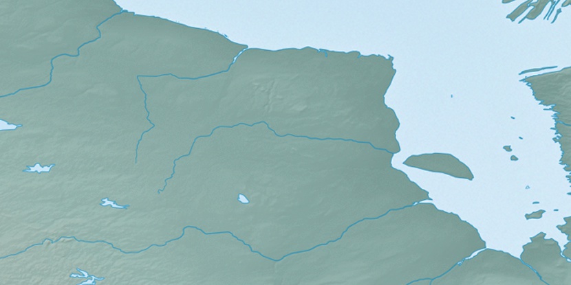
Marker is showing location of Pow Island on map(s). You can click on marker if you want to hide it.
 T: 0.05277 s.
2026 © Location.zone | Terms of use | Contact
 128°
128° 266°
266° 262°
262° 90°
90° 170°
170° 231°
231°