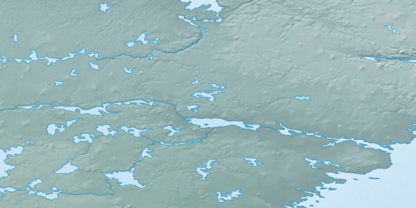
Primrose Island, (island) is located in Nunavut, in Canada (America). It is placed in GMT-5 time zone with current time of 05:22 PM, Saturday. Offset from your time zone: minutes.
| Latitude | 

|
|
| decimal | 63.88398 | |
| DMS | 63° 53' 2.328" N | |
| Distances from | ||
| North pole | 2903.8 km | |
| Equator | 7103.2 km | |
| South pole | 17110.3 km | |
| Longitude | 
|
|
| decimal | -93.00008 | |
| DMS | 93° 0' 0.288" W | |
| Distance from prime meridian: 4140.9 km to West |
||
List of nearest places sort by population
Yellowknife 1079.1 km 261°
261° 196°202°
 206°
206° 253°
253° 215°246°
 159°
159° 293°
293° 346°
346°

Marker is showing location of Primrose Island on map(s). You can click on marker if you want to hide it.
 T: 0.05618 s.
2026 © Location.zone | Terms of use | Contact
 149°
149° 225°
225° 189°
189° 104°
104° 169°
169°