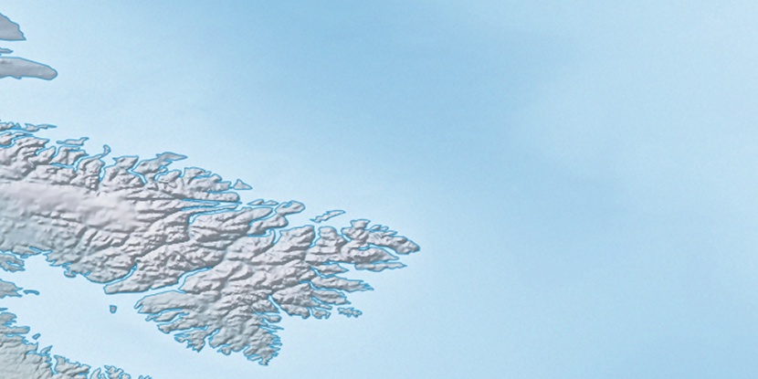
Qukiavik Island, (island) is located in Nunavut, in Canada (America). It is placed in GMT-4 time zone with current time of 11:14 PM, Sunday. Offset from your time zone: minutes.
| Latitude | 

|
|
| decimal | 67.35073 | |
| DMS | 67° 21' 2.628" N | |
| Distances from | ||
| North pole | 2518.4 km | |
| Equator | 7488.7 km | |
| South pole | 17495.8 km | |
| Longitude | 
|
|
| decimal | -63.86359 | |
| DMS | 63° 51' 48.924" W | |
| Distance from prime meridian: 2613.4 km to West |
||
List of nearest places sort by population
Labrador City 1610 km 185°
185° 173°
173° 208°170°
 179°186°
 249°211°
 276°
276° 331°
331°

Marker is showing location of Qukiavik Island on map(s). You can click on marker if you want to hide it.
 T: 0.0525 s.
2026 © Location.zone | Terms of use | Contact
 199°
199° 237°
237° 224°
224° 116°
116° 111°
111° 103°
103° 228°
228°