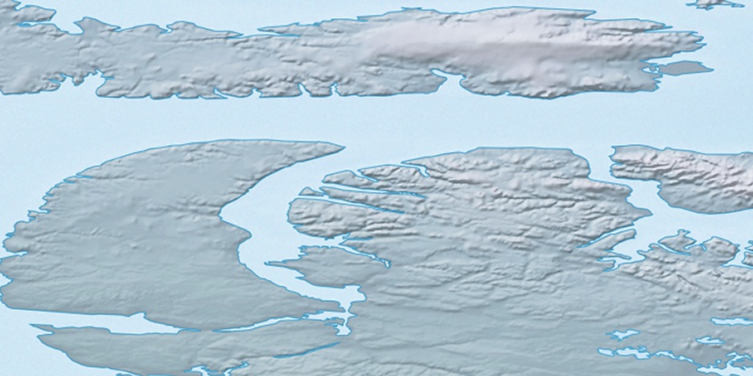
Saneruarsuk Islands, (island) is located in Nunavut, in Canada (America). It is placed in GMT-5 time zone with current time of 02:39 AM, Friday. Offset from your time zone: minutes.
| Latitude | 

|
|
| decimal | 72.21807 | |
| DMS | 72° 13' 5.052" N | |
| Distances from | ||
| North pole | 1977.2 km | |
| Equator | 8029.9 km | |
| South pole | 18037 km | |
| Longitude | 
|
|
| decimal | -85.69981 | |
| DMS | 85° 41' 59.316" W | |
| Distance from prime meridian: 2665.7 km to West |
||
List of nearest places sort by population
Yellowknife 1611 km 228°
228° 143°225°
 220°
220° 194°
194° 130°
130° 246°223°
 244°
244° 107°
107°

Marker is showing location of Saneruarsuk Islands on map(s). You can click on marker if you want to hide it.
 T: 0.05346 s.
2026 © Location.zone | Terms of use | Contact
 173°
173° 211°
211° 118°
118°