Spade Island, (island) is located in Nunavut, in Canada (America). It is placed in GMT-5 time zone with current time of 01:34 PM, Saturday. Offset from your time zone: minutes.
| Latitude | 

|
|
| decimal | 68.33428 | |
| DMS | 68° 20' 3.408" N | |
| Distances from | ||
| North pole | 2409 km | |
| Equator | 7598.1 km | |
| South pole | 17605.1 km | |
| Longitude | 
|
|
| decimal | -100.01786 | |
| DMS | 100° 1' 4.296" W | |
| Distance from prime meridian: 3653.8 km to West |
||
List of nearest places sort by population
Fort McMurray 1410.8 km 203°
203° 225°
225° 217°221°
 211°
211° 149°
149° 264°
264° 79°
79° 253°79°

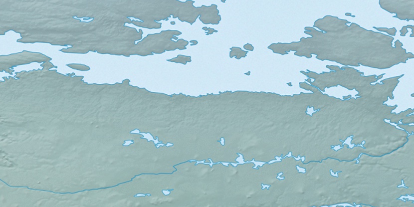
Marker is showing location of Spade Island on map(s). You can click on marker if you want to hide it.
 T: 0.05353 s.
2026 © Location.zone | Terms of use | Contact
 155°
155° 175°
175° 109°
109° 101°
101° 244°
244° 167°
167°