Stefansson Island, (island) is located in Nunavut, in Canada (America). It is placed in GMT-6 time zone with current time of 02:22 PM, Saturday. Offset from your time zone: minutes.
| Latitude | 

|
|
| decimal | 73.45308 | |
| DMS | 73° 27' 11.088" N | |
| Distances from | ||
| North pole | 1839.8 km | |
| Equator | 8167.2 km | |
| South pole | 18174.3 km | |
| Longitude | 
|
|
| decimal | -105.59921 | |
| DMS | 105° 35' 57.156" W | |
| Distance from prime meridian: 2915.8 km to West |
||
List of nearest places sort by population
Yellowknife 1273.4 km 196°196°
 240°
240° 190°
190° 155°
155° 209°
209° 146°238°
 222°
222° 104°
104°

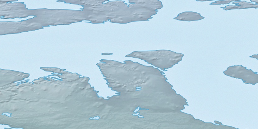
Marker is showing location of Stefansson Island on map(s). You can click on marker if you want to hide it.
 T: 0.05354 s.
2026 © Location.zone | Terms of use | Contact
 170°
170° 115°
115° 112°
112°