Tamarack Island, (island) is located in Manitoba, in Canada (America). It is placed in GMT-5 time zone with current time of 01:56 AM, Sunday. Offset from your time zone: minutes.
| Latitude | 

|
|
| decimal | 49.04168 | |
| DMS | 49° 2' 30.048" N | |
| Distances from | ||
| North pole | 4554.1 km | |
| Equator | 5452.9 km | |
| South pole | 15460 km | |
| Longitude | 
|
|
| decimal | -95.26328 | |
| DMS | 95° 15' 47.808" W | |
| Distance from prime meridian: 6441.7 km to West |
||
List of nearest places sort by population
Winnipeg 165.3 km 304°
304° 316°297°
 109°
109° 272°321°295°
 282°
282° 336°300°

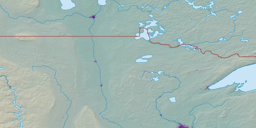
Marker is showing location of Tamarack Island on map(s). You can click on marker if you want to hide it.
 T: 0.05511 s.
2026 © Location.zone | Terms of use | Contact
 116°
116° 103°
103° 291°
291° 87°
87° 261°
261° 165°
165° 230°
230°