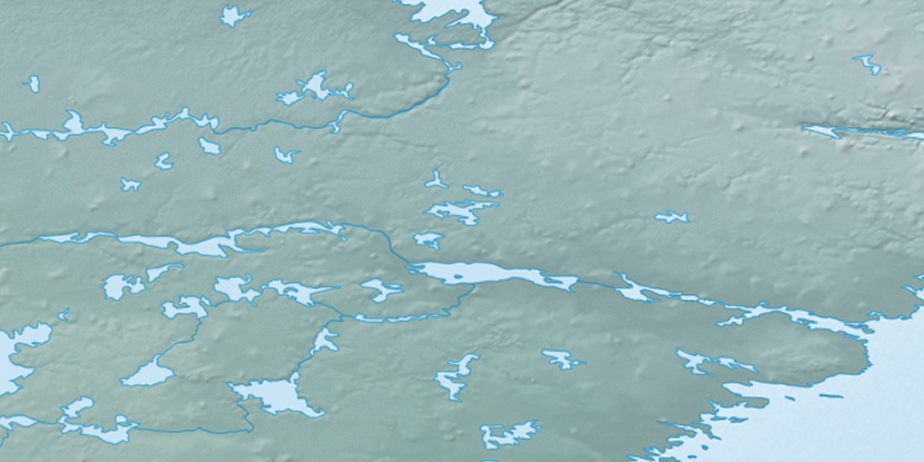
Twin Pack Island, (island) is located in Nunavut, in Canada (America). It is placed in GMT-5 time zone with current time of 01:52 PM, Sunday. Offset from your time zone: minutes.
| Latitude | 

|
|
| decimal | 63.98538 | |
| DMS | 63° 59' 7.368" N | |
| Distances from | ||
| North pole | 2892.6 km | |
| Equator | 7114.5 km | |
| South pole | 17121.6 km | |
| Longitude | 
|
|
| decimal | -93.39184 | |
| DMS | 93° 23' 30.624" W | |
| Distance from prime meridian: 4139.2 km to West |
||
List of nearest places sort by population
Yellowknife 1059.8 km 260°
260° 195°201°204°
 253°
253° 213°245°
 153°
153° 293°
293° 347°
347°

Marker is showing location of Twin Pack Island on map(s). You can click on marker if you want to hide it.
 T: 0.05338 s.
2026 © Location.zone | Terms of use | Contact
 158°
158° 220°
220° 188°
188° 227°
227° 104°
104° 169°
169°