Uguhivig Island, (island) is located in Nunavut, in Canada (America). It is placed in GMT-6 time zone with current time of 01:38 AM, Friday. Offset from your time zone: minutes.
| Latitude | 

|
|
| decimal | 69.26436 | |
| DMS | 69° 15' 51.696" N | |
| Distances from | ||
| North pole | 2305.6 km | |
| Equator | 7701.5 km | |
| South pole | 17708.5 km | |
| Longitude | 
|
|
| decimal | -114.44973 | |
| DMS | 114° 26' 59.028" W | |
| Distance from prime meridian: 3851.4 km to West |
||
List of nearest places sort by population
Yellowknife 757.2 km 179°183°
 262°
262° 173°
173° 125°
125° 213°
213° 189°
189° 95°256°
 230°
230°

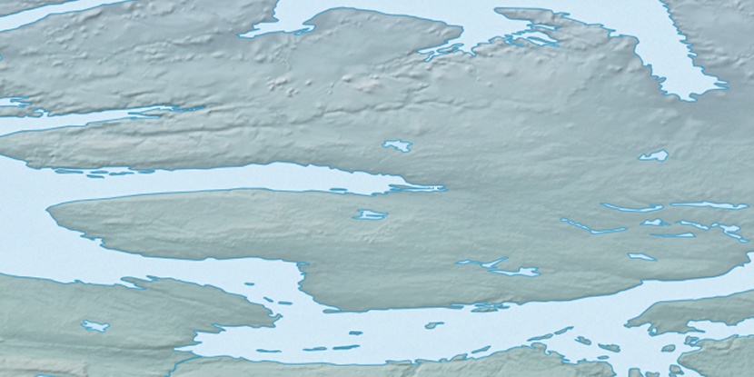
Marker is showing location of Uguhivig Island on map(s). You can click on marker if you want to hide it.
 T: 0.05338 s.
2026 © Location.zone | Terms of use | Contact
 144°
144° 156°
156° 107°
107° 240°
240° 215°
215°