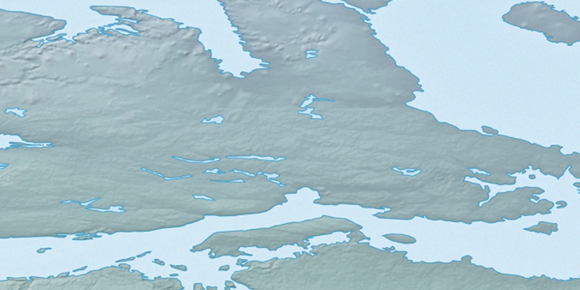
Victoria Island, (island) is located in Nunavut, in Canada (America). It is placed in GMT-6 time zone with current time of 12:51 AM, Monday. Offset from your time zone: minutes.
| Latitude | 

|
|
| decimal | 70.41774 | |
| DMS | 70° 25' 3.864" N | |
| Distances from | ||
| North pole | 2177.3 km | |
| Equator | 7829.7 km | |
| South pole | 17836.8 km | |
| Longitude | 
|
|
| decimal | -107.75302 | |
| DMS | 107° 45' 10.872" W | |
| Distance from prime meridian: 3493 km to West |
||
List of nearest places sort by population
Yellowknife 931.8 km 198°198°198°
 257°
257° 189°
189° 140°
140° 225°
225° 113°
113° 252°234°

Marker is showing location of Victoria Island on map(s). You can click on marker if you want to hide it.
 T: 0.05282 s.
2026 © Location.zone | Terms of use | Contact
 151°
151° 166°
166° 102°
102° 240°
240° 164°
164° 216°
216°