Victoria Island, (island) is located in Northwest Territories, in Canada (America). It is placed in GMT-6 time zone with current time of 08:03 AM, Wednesday. Offset from your time zone: minutes.
| Latitude | 

|
|
| decimal | 71.451 | |
| DMS | 71° 27' 3.6" N | |
| Distances from | ||
| North pole | 2062.5 km | |
| Equator | 7944.6 km | |
| South pole | 17951.7 km | |
| Longitude | 
|
|
| decimal | -113.7541 | |
| DMS | 113° 45' 14.76" W | |
| Distance from prime meridian: 3436.1 km to West |
||
List of nearest places sort by population
Yellowknife 1000.7 km 181°184°
 245°176°
 136°
136° 232°
232° 187°
187° 114°
114° 241°
241° 217°
217°

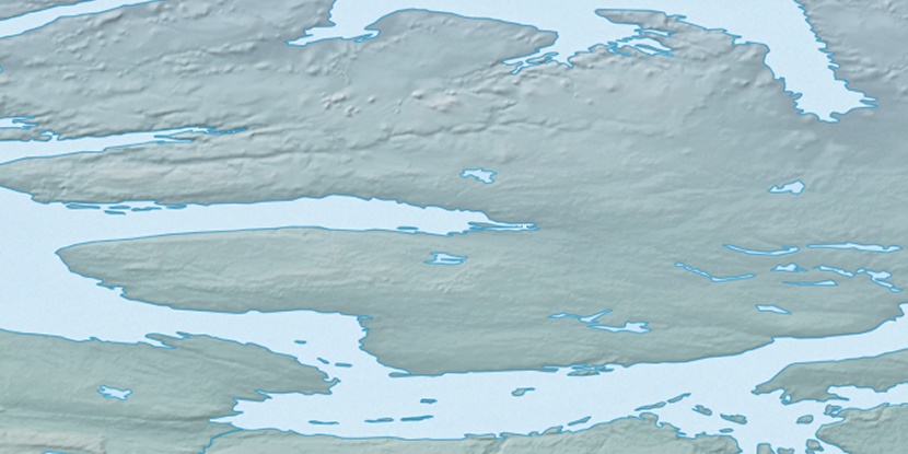
Marker is showing location of Victoria Island on map(s). You can click on marker if you want to hide it.
 T: 0.05392 s.
2026 © Location.zone | Terms of use | Contact
 148°
148° 160°
160° 103°
103° 214°
214°