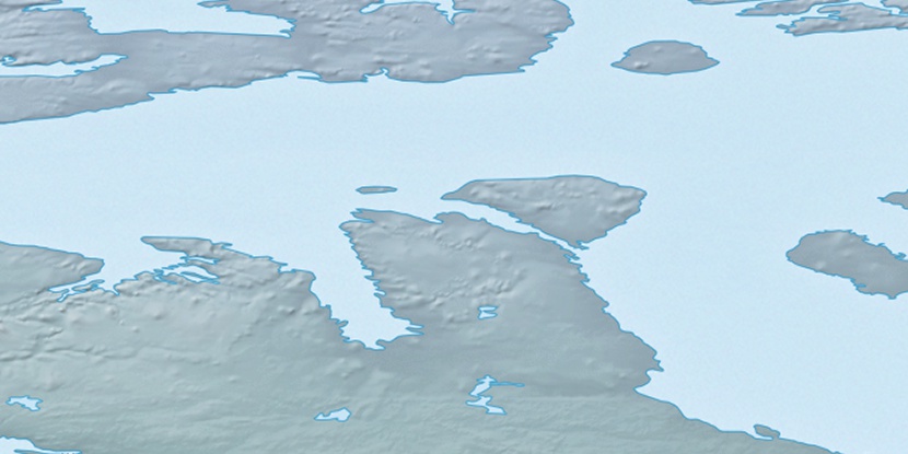
Wilfred Brown Island, (island) is located in Nunavut, in Canada (America). It is placed in GMT-6 time zone with current time of 12:26 AM, Tuesday. Offset from your time zone: minutes.
| Latitude | 

|
|
| decimal | 72.81787 | |
| DMS | 72° 49' 4.332" N | |
| Distances from | ||
| North pole | 1910.5 km | |
| Equator | 8096.6 km | |
| South pole | 18103.7 km | |
| Longitude | 
|
|
| decimal | -109.25366 | |
| DMS | 109° 15' 13.176" W | |
| Distance from prime meridian: 3099.6 km to West |
||
List of nearest places sort by population
Yellowknife 1171.5 km 190°191°
 241°
241° 184°
184° 147°
147° 231°
231° 201°
201° 133°238°
 219°
219°

Marker is showing location of Wilfred Brown Island on map(s). You can click on marker if you want to hide it.
 T: 0.05289 s.
2026 © Location.zone | Terms of use | Contact
 166°
166° 113°
113° 164°
164° 214°
214°