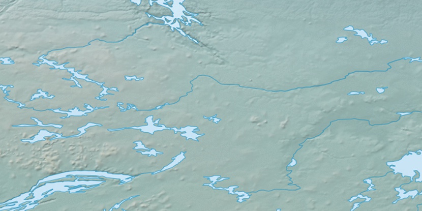
Williamson Island, (island) is located in Northwest Territories, in Canada (America). It is placed in GMT-6 time zone with current time of 10:09 AM, Saturday. Offset from your time zone: minutes.
| Latitude | 

|
|
| decimal | 64.10056 | |
| DMS | 64° 6' 2.016" N | |
| Distances from | ||
| North pole | 2879.7 km | |
| Equator | 7127.3 km | |
| South pole | 17134.4 km | |
| Longitude | 
|
|
| decimal | -108.70201 | |
| DMS | 108° 42' 7.236" W | |
| Distance from prime meridian: 4623.2 km to West |
||
List of nearest places sort by population
Fort McMurray 832.8 km 190°
190° 237°
237° 231°
231° 215°224°
 200°
200° 99°
99° 211°
211° 325°
325° 48°
48°

Marker is showing location of Williamson Island on map(s). You can click on marker if you want to hide it.
 T: 0.05304 s.
2026 © Location.zone | Terms of use | Contact
 140°
140° 133°
133° 156°
156° 247°
247°