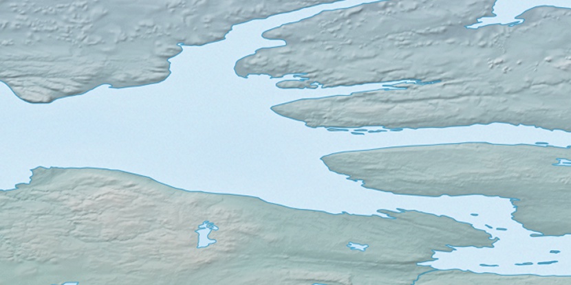
Albert Islands, (islands) is located in Northwest Territories, in Canada (America). It is placed in GMT-6 time zone with current time of 08:28 AM, Saturday. Offset from your time zone: minutes.
| Latitude | 

|
|
| decimal | 70.54412 | |
| DMS | 70° 32' 38.832" N | |
| Distances from | ||
| North pole | 2163.3 km | |
| Equator | 7843.8 km | |
| South pole | 17850.8 km | |
| Longitude | 
|
|
| decimal | -116.81488 | |
| DMS | 116° 48' 53.568" W | |
| Distance from prime meridian: 3665.3 km to West |
||
List of nearest places sort by population
Yellowknife 905.8 km 173°
173° 177°
177° 249°169°
 205°
205° 233°167°
 104°
104° 244°
244° 215°
215°

Marker is showing location of Albert Islands on map(s). You can click on marker if you want to hide it.
 T: 0.00862 s.
2026 © Location.zone | Terms of use | Contact
 144°
144° 155°
155° 188°
188° 109°
109°