Bowell Islands, (islands) is located in Nunavut, in Canada (America). It is placed in GMT-5 time zone with current time of 04:45 PM, Saturday. Offset from your time zone: minutes.
| Latitude | 

|
|
| decimal | 64.01738 | |
| DMS | 64° 1' 2.568" N | |
| Distances from | ||
| North pole | 2889 km | |
| Equator | 7118.1 km | |
| South pole | 17125.1 km | |
| Longitude | 
|
|
| decimal | -94.06692 | |
| DMS | 94° 4' 0.912" W | |
| Distance from prime meridian: 4158 km to West |
||
List of nearest places sort by population
Yellowknife 1026.9 km 260°
260° 192°
192° 199°203°
 252°
252° 212°
212° 244°
244° 143°
143° 293°
293° 351°
351°

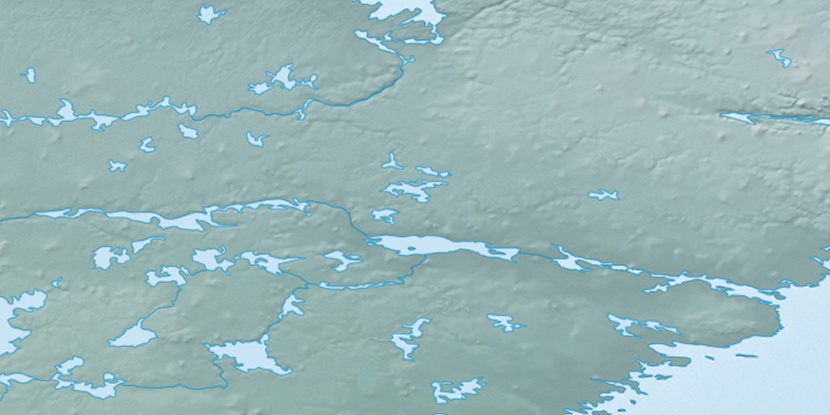
Marker is showing location of Bowell Islands on map(s). You can click on marker if you want to hide it.
 T: 0.00823 s.
2026 © Location.zone | Terms of use | Contact
 157°
157° 148°
148° 219°
219° 226°
226° 104°
104° 168°
168°