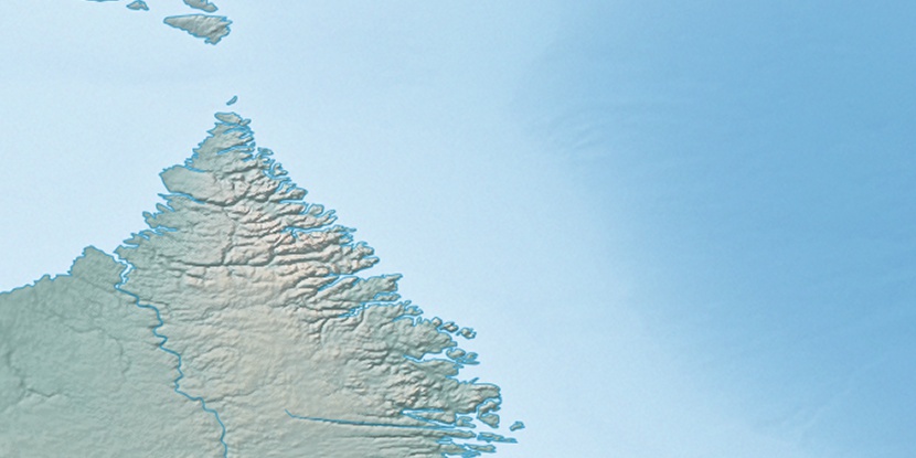
Cape Chidley Islands, (islands) is located in Nunavut, in Canada (America). It is placed in GMT-4 time zone with current time of 11:29 PM, Thursday. Offset from your time zone: minutes.
| Latitude | 

|
|
| decimal | 60.42941 | |
| DMS | 60° 25' 45.876" N | |
| Distances from | ||
| North pole | 3287.9 km | |
| Equator | 6719.1 km | |
| South pole | 16726.2 km | |
| Longitude | 
|
|
| decimal | -64.4623 | |
| DMS | 64° 27' 44.28" W | |
| Distance from prime meridian: 3393.5 km to West |
||
List of nearest places sort by population
Sept-Îles 1143.7 km 186°190°
 162°
162° 330°160°
 177°190°
 354°185°350°

Marker is showing location of Cape Chidley Islands on map(s). You can click on marker if you want to hide it.
 T: 0.00819 s.
2026 © Location.zone | Terms of use | Contact
 208°
208° 199°
199° 251°
251° 255°
255° 240°
240° 103°
103° 94°
94° 232°
232°