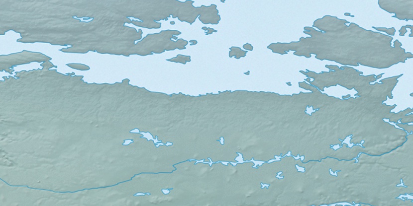
Irving Islands, (islands) is located in Nunavut, in Canada (America). It is placed in GMT-6 time zone with current time of 04:47 PM, Saturday. Offset from your time zone: minutes.
| Latitude | 

|
|
| decimal | 68.80102 | |
| DMS | 68° 48' 3.672" N | |
| Distances from | ||
| North pole | 2357.1 km | |
| Equator | 7650 km | |
| South pole | 17657 km | |
| Longitude | 
|
|
| decimal | -98.751 | |
| DMS | 98° 45' 3.6" W | |
| Distance from prime meridian: 3542.4 km to West |
||
List of nearest places sort by population
Yellowknife 1000.5 km 225°
225° 112°
112° 218°222°
 212°
212° 155°
155° 260°
260° 99°
99° 252°
252° 80°
80°

Marker is showing location of Irving Islands on map(s). You can click on marker if you want to hide it.
 T: 0.00856 s.
2026 © Location.zone | Terms of use | Contact
 150°
150° 202°
202° 177°
177° 244°
244° 167°
167°