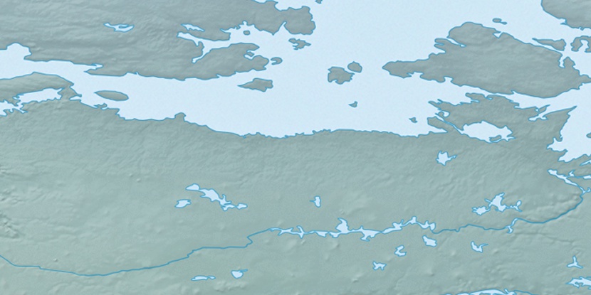
Keith Islands, (islands) is located in Nunavut, in Canada (America). It is placed in GMT-6 time zone with current time of 08:39 AM, Saturday. Offset from your time zone: minutes.
| Latitude | 

|
|
| decimal | 67.90092 | |
| DMS | 67° 54' 3.312" N | |
| Distances from | ||
| North pole | 2457.2 km | |
| Equator | 7549.9 km | |
| South pole | 17556.9 km | |
| Longitude | 
|
|
| decimal | -102.16824 | |
| DMS | 102° 10' 5.664" W | |
| Distance from prime meridian: 3785 km to West |
||
List of nearest places sort by population
Fort McMurray 1327.1 km 200°
200° 223°
223° 225°215°219°
 208°
208° 140°
140° 269°
269° 72°
72° 255°
255°

Marker is showing location of Keith Islands on map(s). You can click on marker if you want to hide it.
 T: 0.0081 s.
2026 © Location.zone | Terms of use | Contact
 153°
153° 172°
172° 108°
108° 100°
100° 244°
244°