Mirage Islands, (islands) is located in Nunavut, in Canada (America). It is placed in GMT-5 time zone with current time of 07:49 AM, Sunday. Offset from your time zone: minutes.
| Latitude | 

|
|
| decimal | 62.61731 | |
| DMS | 62° 37' 2.316" N | |
| Distances from | ||
| North pole | 3044.7 km | |
| Equator | 6962.4 km | |
| South pole | 16969.5 km | |
| Longitude | 
|
|
| decimal | -91.6999 | |
| DMS | 91° 41' 59.64" W | |
| Distance from prime meridian: 4285.1 km to West |
||
List of nearest places sort by population
Yellowknife 1156.8 km 269°
269° 204°
204° 209°213°214°
 222°
222° 254°
254° 317°210°
 344°
344°

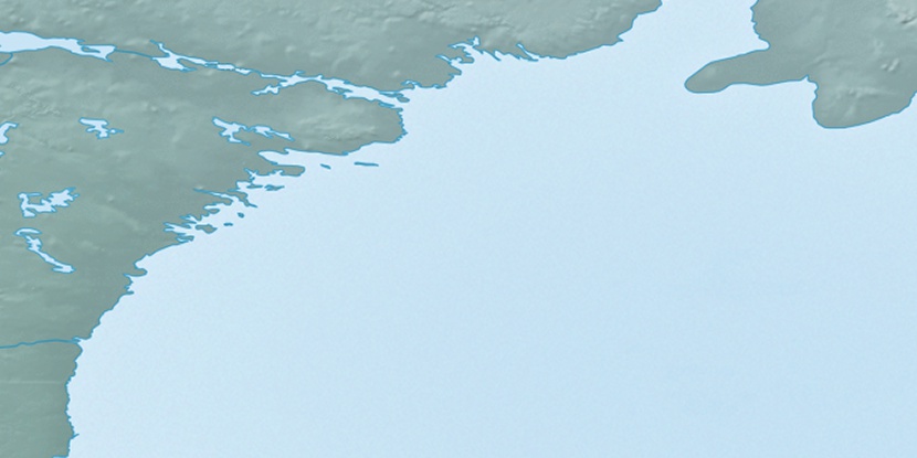
Marker is showing location of Mirage Islands on map(s). You can click on marker if you want to hide it.
 T: 0.00785 s.
2026 © Location.zone | Terms of use | Contact
 159°
159° 148°
148° 226°
226° 193°
193° 102°
102° 169°
169°