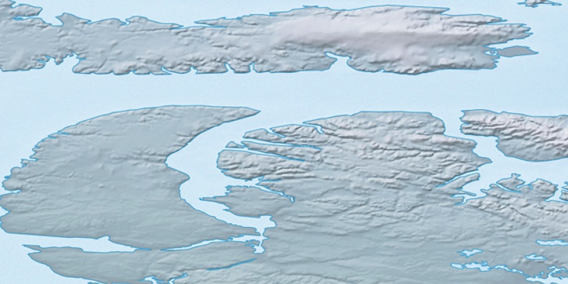
Qikirtaukkat Islands, (islands) is located in Nunavut, in Canada (America). It is placed in GMT-5 time zone with current time of 06:08 AM, Monday. Offset from your time zone: minutes.
| Latitude | 

|
|
| decimal | 72.90971 | |
| DMS | 72° 54' 34.956" N | |
| Distances from | ||
| North pole | 1900.3 km | |
| Equator | 8106.8 km | |
| South pole | 18113.9 km | |
| Longitude | 
|
|
| decimal | -85.6997 | |
| DMS | 85° 41' 58.92" W | |
| Distance from prime meridian: 2563.8 km to West |
||
List of nearest places sort by population
Yellowknife 1647.9 km 225°
225° 145°
145° 223°218°
 193°
193° 134°
134° 242°217°242°
 114°
114°

Marker is showing location of Qikirtaukkat Islands on map(s). You can click on marker if you want to hide it.
 T: 0.00867 s.
2026 © Location.zone | Terms of use | Contact
 174°
174° 210°
210° 119°
119°